Category:Transport maps of Loir-et-Cher
Jump to navigation
Jump to search
Subcategories
This category has the following 2 subcategories, out of 2 total.
R
Media in category "Transport maps of Loir-et-Cher"
The following 2 files are in this category, out of 2 total.
-
 41008-Avaray-Sols.png 7,015 × 4,960; 4.81 MB
-
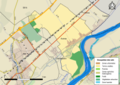
 Transport map of France - 41.svg 1,027 × 886; 9.38 MB
