Category:Transport maps of Braunschweig
Jump to navigation
Jump to search

Subcategories
This category has only the following subcategory.
Media in category "Transport maps of Braunschweig"
The following 18 files are in this category, out of 18 total.
-
 AD Braunschweig-Südwest.svg 1,734 × 1,485; 1.92 MB
-
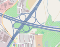 AK Braunschweig-Nord.png 850 × 663; 258 KB
-
 AK Braunschweig-Süd.svg 866 × 741; 957 KB
-
 AK Ölper.png 1,255 × 845; 463 KB
-
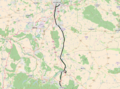
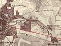 Braunschweiger Eisenbahn 1838 Ausschnitt Kennel.jpg 1,115 × 836; 812 KB
-
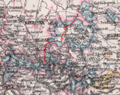 Braunschweigische Landeseisenbahn 1905.png 722 × 569; 1.03 MB
-
 BS A391.png 1,404 × 1,648; 269 KB
-
 BS A392.png 1,404 × 1,648; 269 KB
-
 BS ALL.png 1,404 × 1,648; 269 KB
-
 DB 1722 railway map.png 1,224 × 986; 1.23 MB
-
 DB 1725 railway map.png 1,410 × 1,057; 1.29 MB
-
 DB 1730 railway map.png 1,386 × 995; 1.39 MB
-
 DB 1900 railway map.png 1,421 × 1,028; 1.51 MB
-
 DB 1901 railway map.png 1,393 × 1,028; 1.45 MB
-
 DB 1902 railway map.png 1,288 × 966; 1.35 MB
-
 DB 1903 railway map.png 1,184 × 883; 1.51 MB
-
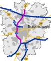
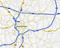 Karte Autobahnen um Braunschweig.png 1,565 × 1,259; 970 KB
-
 Standortfrage Hauptbahnhof BS.jpg 300 × 360; 40 KB


