Category:Topographic maps of South Africa
Jump to navigation
Jump to search
Subcategories
This category has the following 2 subcategories, out of 2 total.
S
T
Media in category "Topographic maps of South Africa"
The following 12 files are in this category, out of 12 total.
-
 CP and FB topographical map with dive sites.png 1,236 × 1,236; 234 KB
-
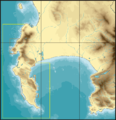 TMNP MPA boundaries.png 1,224 × 1,268; 212 KB
-
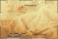 PilanesbergTopography.svg 899 × 602; 79.35 MB
-
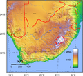
 South Africa Physiography.jpg 2,000 × 2,614; 1.68 MB
-
 South Africa relief map plain.png 2,394 × 2,088; 3.04 MB
-
 South Africa relief map with international borders.png 2,394 × 2,088; 3.08 MB
-
 South Africa relief map with provincial borders.png 2,394 × 2,088; 3.15 MB
-
 South Africa topo continent.png 3,658 × 2,301; 3.84 MB
-
 South Africa topo island.png 2,717 × 2,089; 3.59 MB
-
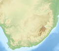
 South Africa Topography.png 1,578 × 1,457; 2.38 MB
-
 SouthPeakAfrica.jpg 481 × 550; 55 KB
-
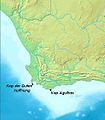
 Western Cape Topology.jpg 1,498 × 1,197; 930 KB


