Category:SVG topographic maps of South Africa
Jump to navigation
Jump to search
Media in category "SVG topographic maps of South Africa"
The following 14 files are in this category, out of 14 total.
-
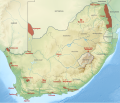 SANParks relief map af.svg 2,031 × 1,741; 5.54 MB
-
 SANParks relief map.svg 2,031 × 1,741; 5.56 MB
-
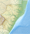
 South Africa Eastern Cape relief location map.svg 1,298 × 902; 2.29 MB
-
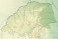
 South Africa Free State relief location map.svg 1,130 × 1,008; 2.24 MB
-
 South Africa Gauteng relief location map.svg 1,061 × 1,046; 1.64 MB
-
 South Africa KwaZulu-Natal relief location map.svg 1,000 × 1,140; 2.28 MB
-
 South Africa Limpopo relief location map.svg 1,282 × 850; 1.8 MB
-
 South Africa Mpumalanga relief location map.svg 1,031 × 1,067; 2.26 MB
-
 South Africa North West location map.svg 1,265 × 878; 163 KB
-
 South Africa North West relief location map.svg 1,265 × 878; 1.22 MB
-
 South Africa Northern Cape relief location map.svg 1,054 × 1,072; 1.65 MB
-
 South Africa physical map.svg 852 × 665; 2.61 MB
-
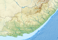
 South Africa relief location map.svg 2,031 × 1,741; 5.23 MB
-
 South Africa Western Cape relief location map.svg 1,214 × 972; 1.98 MB


