Category:Satellite pictures of volcanoes in El Salvador
Jump to navigation
Jump to search
Countries of North America: Canada · Costa Rica · El Salvador · Guatemala · Mexico · Nicaragua · United States of America‡
‡: partly located in North America
‡: partly located in North America
Media in category "Satellite pictures of volcanoes in El Salvador"
The following 11 files are in this category, out of 11 total.
-
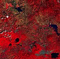 El Salvador ESA19419696.jpeg 8,643 × 8,533; 15.67 MB
-
 El Salvador ESA19419696.tiff 8,643 × 8,533; 281.36 MB
-
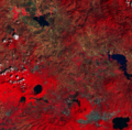
 ISS023-E-22411 - View of El Salvador.jpg 6,048 × 4,147; 2.69 MB
-
 Lago de Guija Satellite View.jpg 1,840 × 855; 472 KB
-
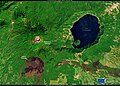
 LakeCoatepequeElSalvador (cropped).jpg 1,692 × 1,622; 3.06 MB
-
 LakeCoatepequeElSalvador.jpg 4,008 × 2,543; 9.94 MB
-
 Los Volcanes National Park, El Salvador.jpg 3,537 × 2,540; 2.27 MB
-
 San Salvador From Space.jpg 640 × 639; 143 KB
-
 San Salvador Volcano (2023-11-28-04-37-23 UMBRA-06).tiff 28,764 × 41,755, 8 pages; 1.54 GB
-
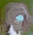 SantaAnavolcano.jpg 294 × 303; 134 KB
-
 Volcanoes near Usulután, El Salvador.jpg 4,037 × 3,525; 6.59 MB


.jpg)


