Category:SVG maps of the history of Bolivia
Jump to navigation
Jump to search
Subcategories
This category has only the following subcategory.
Media in category "SVG maps of the history of Bolivia"
The following 17 files are in this category, out of 17 total.
-
AsambleaXIII.svg 454 × 608; 254 KB
-
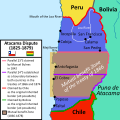
Atacama Desert Dispute between Bolivia and Chile (1825 - 1879).svg 1,500 × 1,500; 3.41 MB
-
Disputa limítrofe del desierto de Atacama entre Bolivia y Chile (1825 - 1879).svg 1,500 × 1,500; 3.5 MB
-
Guerra-del-pacifico-01-a.svg 349 × 612; 69 KB
-
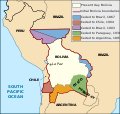
Map Bolivia territorial loss-en.svg 375 × 355; 78 KB
-
Map Bolivia territorial loss-es.svg 375 × 355; 78 KB
-
Map Bolivia territorial loss-fr.svg 375 × 355; 78 KB
-
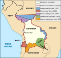
Map Bolivia territorial loss-mk.svg 375 × 355; 78 KB
-
Pérdidas territoriales de iure de la República de Chile.svg 1,800 × 2,808; 3.84 MB
-
República de Bolívar (1825).svg 1,417 × 1,063; 5.04 MB
-
RutaDelChe 1967.svg 1,010 × 709; 52 KB
-
RutaDelChe2.svg 1,010 × 709; 42 KB
-
Saltpeter fields in 1876.es.svg 254 × 523; 57 KB
-
Territorial losses of the Republic of Chile de jure.svg 1,800 × 2,808; 3.75 MB
-
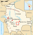
Zona en que combatió Che Guevara-Bolivia.SVG 328 × 350; 296 KB
-
Територијални губици Боливије-hu.svg 375 × 355; 74 KB
-
Територијални губици Боливије.svg 375 × 355; 74 KB


