
Category:Rail transport maps of Greater Manchester
Media in category "Rail transport maps of Greater Manchester"
The following 40 files are in this category, out of 40 total.
-
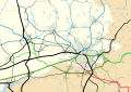 Around Manchester railway map 1921.svg 1,398 × 986; 279 KB
-
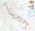 Buxton line.png 1,898 × 1,684; 2.18 MB
-
 Buxton line.svg 1,207 × 1,107; 4.66 MB
-
 Calder Valley line.png 3,007 × 1,879; 4.55 MB
-
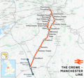 Crewe-Manchester line.png 1,632 × 1,503; 2.08 MB
-
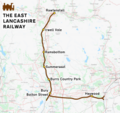 East Lancashire Railway.png 5,562 × 5,235; 9.71 MB
-
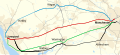
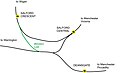
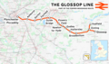 Glossop line.png 2,023 × 1,202; 2.37 MB
-
 Glossop Line.svg 1,207 × 543; 4.6 MB
-
 Greater Manchester railway map 2014.svg 1,398 × 986; 818 KB
-
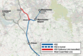 H2 Manchester Golborne Link map.png 1,219 × 822; 417 KB
-
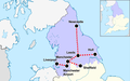
 Hope Valley Line map.png 1,229 × 584; 791 KB
-
 Hope Valley Line.png 3,052 × 1,886; 4.09 MB
-
 Hope Valley Line.svg 1,152 × 547; 1.86 MB
-
 HS2 phase 2 Manchester.png 1,219 × 1,408; 2.03 MB
-
 HS3-2017-map.png 2,157 × 1,440; 3.51 MB
-
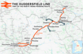 Huddersfield line.png 2,062 × 1,336; 2.52 MB
-
 Huddersfield line.svg 1,417 × 921; 3.15 MB
-
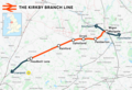 Kirkby branch line.png 1,488 × 1,019; 1.09 MB
-
 Liverpool–Manchester lines.png 2,501 × 1,575; 3.39 MB
-
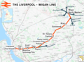 Liverpool–Wigan line.png 1,914 × 1,396; 1.99 MB
-
 Manchester and bolton railway map.gif 1,934 × 1,901; 85 KB
-
 Manchester Central to Buxton map aey.jpg 1,699 × 1,367; 651 KB
-
 Manchester Piccadilly plan.png 1,000 × 568; 791 KB
-
 Manchester Victoria plan.png 1,000 × 756; 634 KB
-
 Manchester–Preston line.png 2,339 × 2,187; 4.08 MB
-
 Manchester–Southport line.png 8,177 × 5,270; 17.71 MB
-
 Map of historical railways around Stockport before 1978.svg 967 × 589; 1.03 MB
-
 Map of rail routes between Liverpool and Manchester in 1960.svg 702 × 318; 1.33 MB
-
 Mid-Cheshire line.png 10,490 × 6,848; 27.45 MB
-
 Northern Hub - Manchester schematic improvements.jpg 4,000 × 2,622; 1.36 MB
-
 Northern Powerhouse rail.png 2,000 × 1,250; 512 KB
-
 Ordsall Chord layout.jpg 2,641 × 1,812; 262 KB
-
 Rail transport infrastructure map - UK - North West England.svg 869 × 1,323; 6.08 MB
-
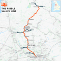 Ribble Valley line.png 5,676 × 5,650; 13.07 MB
-
 Stafford–Manchester line.png 1,546 × 1,868; 2.31 MB
-
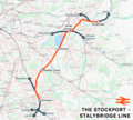 Stockport to Stalybridge Line map.png 4,942 × 4,435; 11.49 MB
-
 Styal line.png 3,950 × 3,842; 7.25 MB
-
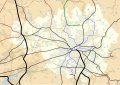
 Urban Rail Greater Manchester 2011-16.jpg 2,999 × 2,399; 1.53 MB
-
 Windsor Link railway line, Manchester.jpg 3,287 × 1,995; 278 KB
-
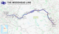 Woodhead line.png 2,994 × 1,739; 4.07 MB


