Category:Postcode maps covering Yorkshire and the Humber
Jump to navigation
Jump to search
Media in category "Postcode maps covering Yorkshire and the Humber"
The following 15 files are in this category, out of 15 total.
-
 BD postcode area map.svg 1,000 × 1,000; 716 KB
-
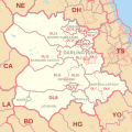 DL postcode area map.svg 1,000 × 1,000; 660 KB
-
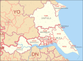
 DN postcode area map.svg 1,000 × 700; 940 KB
-
 DN postcode map.png 1,136 × 717; 36 KB
-
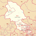
 HD postcode area map.svg 1,000 × 1,000; 293 KB
-
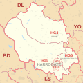 HG postcode area map.svg 1,000 × 1,000; 212 KB
-
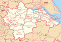
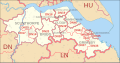
 HU postcode area map.svg 1,000 × 600; 206 KB
-
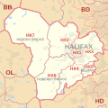 HX postcode area map.svg 1,000 × 1,000; 215 KB
-
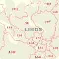 LS postcode area inset map.svg 500 × 500; 53 KB
-
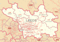 LS postcode area map.svg 1,000 × 700; 560 KB
-
 North Humberside former postal county.svg 958 × 709; 535 KB
-
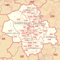 S postcode area map.svg 1,000 × 1,000; 664 KB
-
 South Humberside former postal county.svg 752 × 394; 312 KB
-
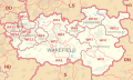 WF postcode area map.svg 1,000 × 600; 343 KB
-
 YO postcode area map.svg 1,000 × 1,000; 1 MB


