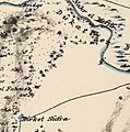
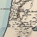
Category:PEF map of Western Palestine (details of sheet 7)
Jump to navigation
Jump to search
Media in category "PEF map of Western Palestine (details of sheet 7)"
The following 10 files are in this category, out of 10 total.
-
Helat and Zerka in the Survey of Western Palestine 1880.07 (cropped).jpg 839 × 874; 240 KB
-
Historical map series for the area of al-Sarafand (1870s).jpg 745 × 749; 141 KB
-
Historical map series for the area of Arab al-Fuqara (1870s).jpg 743 × 747; 176 KB
-
Historical map series for the area of Arab al-Nufay'at (1870s).jpg 743 × 747; 192 KB
-
Historical map series for the area of Arab Zahrat al-Dumayri (1870s).jpg 743 × 747; 172 KB
-
Historical map series for the area of Barrat Qisarya (1870s).jpg 744 × 748; 187 KB
-
Historical map series for the area of Kabara, Haifa (1870s).jpg 744 × 748; 201 KB
-
Historical map series for the area of Kafr Lam (1870s).jpg 745 × 749; 145 KB
-
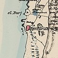
Historical map series for the area of Tantura (1870s).jpg 745 × 748; 159 KB


