Category:Maps of the canton of Vaud to 2012
Jump to navigation
Jump to search
Media in category "Maps of the canton of Vaud to 2012"
The following 12 files are in this category, out of 12 total.
-
 Karte Kanton Waadt 2010.png 2,066 × 1,940; 1.12 MB
-
 Karte Kanton Waadt Bezirke 2010.png 2,066 × 1,940; 1.09 MB
-
 Karte Kanton Waadt 2008.png 1,181 × 1,110; 301 KB
-
 Karte Kanton Waadt Bezirke 2008.png 1,181 × 1,110; 273 KB
-
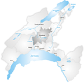
 Karte Bezirk Broye-Vully.png 1,181 × 1,158; 277 KB
-
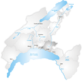
 Karte Bezirk Gros-de-Vaud.png 1,181 × 1,158; 277 KB
-
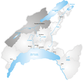 Karte Bezirk Jura - Nord vaudois.png 1,181 × 1,158; 277 KB
-
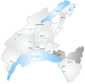 Karte Bezirk Riviera - Pays-d'Enhaut.png 1,181 × 1,158; 274 KB
-
 Karte Gemeinden des Kantons Waadt 2012.png 2,952 × 2,923; 1.83 MB
-
 Karte Gemeinden des Kantons Waadt farbig 2012.png 2,952 × 2,923; 2.3 MB
-
 Karte Bezirk Lavaux-Oron.png 1,181 × 1,158; 275 KB
-
 Karte Bezirk Ouest Lausannois.png 1,181 × 1,158; 272 KB


