Category:Maps of the Metropolitan Borough of Rochdale
Jump to navigation
Jump to search
Media in category "Maps of the Metropolitan Borough of Rochdale"
The following 27 files are in this category, out of 27 total.
-
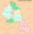 Ancient Parish of Rochdale.png 1,892 × 1,964; 547 KB
-
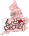 EnglandRochdale.png 200 × 247; 30 KB
-
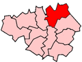
 GManc-Rochdale.png 200 × 151; 15 KB
-
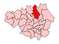
 GreaterManchesterRochdale.png 200 × 151; 16 KB
-
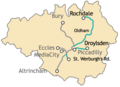
 HeywoodMiddleton2007Constituency.svg 322 × 242; 305 KB
-
 HeywoodMiddletonConstituency.svg 329 × 242; 76 KB
-
 Map of Buckley.jpg 1,520 × 2,703; 1.18 MB
-
 Metrolink 2CC.png 500 × 361; 54 KB
-
 Metrolink full network.png 500 × 361; 58 KB
-
 Metrolink phase3 complete.png 500 × 361; 62 KB
-
 Metrolink phase3 rochdale.png 500 × 361; 46 KB
-
 Metrolink phase3a.png 500 × 361; 50 KB
-
 Metrolink phase3b.png 500 × 361; 55 KB
-
 Metrolink Trafford Line.png 500 × 361; 51 KB
-
 OldhamEastSaddleworthConstituency.svg 329 × 242; 76 KB
-
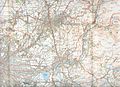 Oldhammap1924.jpg 3,504 × 2,544; 1.84 MB
-
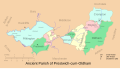 Prestwich cum Oldham.svg 601 × 341; 115 KB
-
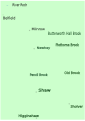
 River Beal 2.svg 744 × 1,052; 18 KB
-
 River Beal 4.svg 744 × 1,052; 42 KB
-
 River Beal 5.svg 744 × 1,052; 42 KB
-
 River Roch map 1.svg 1,052 × 744; 68 KB
-
 River Roch map 2.svg 1,052 × 744; 64 KB
-
 Rochdale UK locator map.svg 1,425 × 993; 860 KB
-
 Rochdale UK ward map 2010 (blank).svg 1,304 × 1,305; 388 KB
-
 Rochdale2007Constituency.svg 322 × 242; 305 KB
-
 RochdaleAncientParishNumbered.png 450 × 492; 27 KB
-
 RochdaleConstituency.svg 329 × 242; 76 KB


.svg)