Category:Election maps of Rochdale
Jump to navigation
Jump to search
This category contains election maps for the Metropolitan Borough of Rochdale.
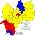
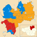
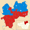
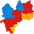
Media in category "Election maps of Rochdale"
The following 17 files are in this category, out of 17 total.
-
 Rochdale Metropolitan Borough Council Election Map.svg 512 × 527; 80 KB
-
 Rochdale UK local election 2004 map.svg 1,304 × 1,305; 390 KB
-
 Rochdale UK local election 2006 map.svg 1,304 × 1,305; 388 KB
-
 Rochdale UK local election 2007 map.svg 1,304 × 1,305; 388 KB
-
 Rochdale UK local election 2008 map.svg 1,304 × 1,305; 388 KB
-
 Rochdale UK local election 2010 map.svg 1,304 × 1,305; 389 KB
-
 Rochdale UK local election 2011 map.svg 1,304 × 1,305; 388 KB
-
 Rochdale UK local election 2012 map.svg 1,304 × 1,305; 388 KB
-
 Rochdale UK local election 2014 map.svg 1,304 × 1,305; 388 KB
-
 Rochdale UK local election 2015 map.svg 1,304 × 1,305; 388 KB
-
 Rochdale UK local election 2018 map.svg 1,304 × 1,305; 388 KB
-
 Rochdale UK local election 2019 map.svg 1,304 × 1,305; 388 KB
-
 Rochdale UK local election 2021 map.svg 1,304 × 1,305; 390 KB
-
 Rochdale UK ward map 2022.svg 693 × 713; 257 KB
-
 Rochdale UK ward map 2023.svg 693 × 713; 247 KB
-
 Rochdale UK ward map 2024.svg 739 × 760; 247 KB
-
 Rochdale wards 2016.svg 1,304 × 1,305; 389 KB


