Category:Maps of the Münsterland
Jump to navigation
Jump to search
Subcategories
This category has the following 8 subcategories, out of 8 total.
+
M
P
Media in category "Maps of the Münsterland"
The following 14 files are in this category, out of 14 total.
-
 Dreingau approx location.png 326 × 328; 74 KB
-
 Fürstbistum münster.jpg 1,369 × 1,600; 738 KB
-
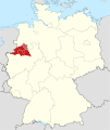 Locator map Münsterland in Germany.svg 1,075 × 1,273; 648 KB
-
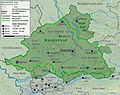
 Münsterland Cretaceous Basin.png 620 × 485; 418 KB
-
 Münsterland topo.jpg 4,000 × 3,157; 3.77 MB
-
 Münsterland topo.svg 313 × 247; 3.18 MB
-
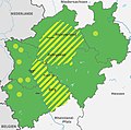
 Münsterland.svg 313 × 247; 2.45 MB
-
 North rhine we muensterland.png 901 × 634; 94 KB
-
 Panhas - Verteilung.jpg 1,030 × 1,024; 566 KB
-
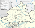 Regierungsbezirk Münster.svg 313 × 247; 2.4 MB
-
 Reilly 264.jpg 1,099 × 994; 501 KB
-
 Vorläufiger Netzplan der S-Bahn Münsterland.jpg 2,706 × 1,666; 1.17 MB
-
 Vorläufiger Netzplan der S-Bahn Münsterland.svg 2,742 × 1,862; 161 KB
-


