Category:Maps of the Holy Land
Jump to navigation
Jump to search
Subcategories
This category has the following 2 subcategories, out of 2 total.
*
Media in category "Maps of the Holy Land"
The following 6 files are in this category, out of 6 total.
-
 Carte de la Terre Sainte - Dresse et Gravee par P. Tardieu.jpg 2,849 × 2,200; 2.92 MB
-
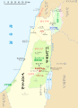 Holy sites of Jesus in Palestine ja.svg 1,300 × 1,800; 253 KB
-
 Holy sites of Jesus in Palestine.svg 1,300 × 1,800; 309 KB
-
 Illustration jews Holy land.jpg 560 × 898; 186 KB
-
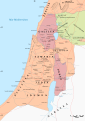 Palestine in the time of Jesus-es.svg 1,524 × 2,156; 1.12 MB
-
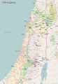 Tierra Santa.png 1,278 × 1,849; 1.06 MB


