Category:Maps of political divisions of the Russian Soviet Federative Socialist Republic (European part)
Jump to navigation
Jump to search
Media in category "Maps of political divisions of the Russian Soviet Federative Socialist Republic (European part)"
The following 11 files are in this category, out of 11 total.
-
 Komi in 1927.jpg 475 × 565; 25 KB
-
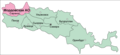
 Mariyskaya AO in 1927.jpg 733 × 439; 31 KB
-
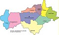
 Nizhegorodskiy kray.jpg 513 × 434; 28 KB
-
 Skkrayussr1932 (cropped).jpg 779 × 514; 82 KB
-
 Skkrayussr1932.jpg 1,444 × 1,839; 442 KB
-
 Soviet Caucasus (1 May 1918).png 1,704 × 862; 138 KB
-
 Srednevolzhskiy-kray-1931.jpg 8,382 × 5,940; 11.64 MB
-
 Territorial map of Mountain ASSR (1921).png 1,271 × 656; 100 KB
-
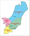
 Нижне-Волжский край.png 664 × 863; 47 KB
-
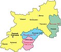
 Средне-Волжский край.png 936 × 426; 39 KB
-
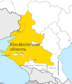 Юго-Восточная область РСФСР (1924).png 2,000 × 2,304; 381 KB


.jpg)

.png)

.png)


.png)