Category:Maps of municipalities in the district of Prättigau-Davos old
Jump to navigation
Jump to search
Media in category "Maps of municipalities in the district of Prättigau-Davos old"
The following 17 files are in this category, out of 17 total.
-
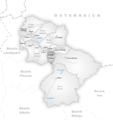 Karte Gemeinde Conters im Prättigau.png 944 × 1,000; 223 KB
-
 Karte Gemeinde Davos.png 944 × 1,000; 229 KB
-
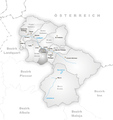
 Karte Gemeinde Fanas.png 944 × 1,000; 224 KB
-
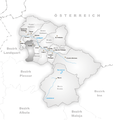
 Karte Gemeinde Fideris.png 944 × 1,000; 224 KB
-
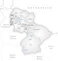
 Karte Gemeinde Furna.png 944 × 1,000; 224 KB
-
 Karte Gemeinde Grüsch.png 944 × 1,000; 222 KB
-
 Karte Gemeinde Jenaz.png 944 × 1,000; 224 KB
-
 Karte Gemeinde Klosters-Serneus.png 944 × 1,000; 228 KB
-
 Karte Gemeinde Küblis.png 944 × 1,000; 222 KB
-
 Karte Gemeinde Luzein.png 944 × 1,000; 224 KB
-
 Karte Gemeinden des Bezirks Prättigau-Davos.png 944 × 1,000; 220 KB
-
 Karte Gemeinde Saas im Prättigau.png 944 × 1,000; 223 KB
-
 Karte Gemeinde Schiers.png 944 × 1,000; 225 KB
-
 Karte Gemeinde Seewis im Prättigau.png 944 × 1,000; 224 KB
-
 Karte Gemeinde St. Antönien.png 885 × 938; 209 KB
-
 Karte Gemeinde St. Antönien Ascharina.png 885 × 938; 208 KB
-
 Karte Gemeinde Valzeina.png 944 × 1,000; 223 KB


