Category:Maps of forests in Tarn-et-Garonne
Jump to navigation
Jump to search
Subcategories
This category has only the following subcategory.
Media in category "Maps of forests in Tarn-et-Garonne"
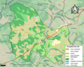
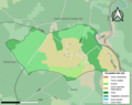
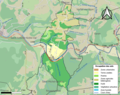
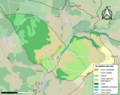
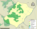
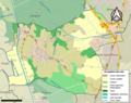
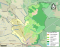
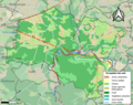
The following 15 files are in this category, out of 15 total.
-
 82014-Beaupuy-Sols.png 3,270 × 2,598; 1.58 MB
-
 82025-Bressols-Sols.png 3,270 × 2,598; 2.84 MB
-
 82026-Bruniquel-Sols.png 3,270 × 2,598; 2.96 MB
-
 82038-Caylus-Sols.png 3,270 × 2,598; 3.01 MB
-
 82041-Cazals-Sols.png 3,270 × 2,598; 1.1 MB
-
 82061-Féneyrols-Sols.png 3,270 × 2,598; 2.44 MB
-
 82082-Lacapelle-Livron-Sols.png 3,270 × 2,598; 1.87 MB
-
 82088-Laguépie-Sols.png 3,270 × 2,598; 2.14 MB
-
 82100-Loze-Sols.png 3,270 × 2,598; 2.26 MB
-
 82107-Maumusson-Sols.png 3,270 × 2,598; 1.04 MB
-
 82123-Montbartier-Sols.png 3,270 × 2,598; 2.22 MB
-
 82132-Montricoux-Sols.png 3,270 × 2,598; 2.29 MB
-
 82133-Mouillac-Sols.png 3,270 × 2,598; 1.15 MB
-
 82155-Saint-Antonin-Noble-Val-Sols.png 3,270 × 2,598; 2.94 MB
-
 82172-Saint-Projet-Sols.png 3,270 × 2,598; 2.6 MB


