Category:Maps of floods in France
Jump to navigation
Jump to search
Subcategories
This category has the following 2 subcategories, out of 2 total.
*
P
- Maps of floods in Paris (7 F)
Media in category "Maps of floods in France"
The following 3 files are in this category, out of 3 total.
-
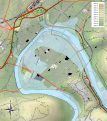 Besançon 1910 flood map.svg 877 × 986; 1.67 MB
-
 ECDM 20240103 Western Europe.pdf 2,479 × 1,754; 1.33 MB
-
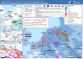 ECDM 20240105 Western Europe(1).pdf 2,479 × 1,754; 1.6 MB
