Category:Maps of Rheingau-Taunus-Kreis
Jump to navigation
Jump to search
Districts of Hesse:
Urban districts (cities):
Subcategories
This category has the following 2 subcategories, out of 2 total.
Media in category "Maps of Rheingau-Taunus-Kreis"
The following 12 files are in this category, out of 12 total.
-
 Amt Eltville 1828.JPG 1,284 × 727; 301 KB
-
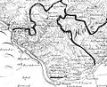
 Amt Idstein 1828.jpg 1,194 × 1,606; 908 KB
-
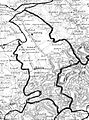
 Amt Langen-Schwalbach 1828.JPG 1,207 × 1,132; 416 KB
-
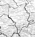
 Amt Rüdesheim 1828.JPG 1,219 × 995; 347 KB
-
 Amt Wehen 1828.jpg 1,412 × 1,490; 912 KB
-
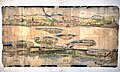
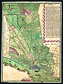 Karte der Gemarkung Erbach im Rheingau, 1751.jpg 10,869 × 14,473; 36.39 MB
-
-
 Nassau Rheingaukreis.png 387 × 183; 40 KB
-
 Nassau Untertaunuskreis.png 435 × 244; 64 KB
-
 RheingauerGebückKarteCohausen.jpg 1,422 × 1,011; 1.13 MB
-
 RheinhöhenwegFörsterBitterEicheKiedrichInfotafel.JPG 1,600 × 1,200; 675 KB
-
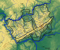 Taunus Naturräumliche Gliederung mit Relief.png 2,179 × 1,814; 5.03 MB


