Category:Maps of Mohave County, Arizona
Appearance
Wikimedia category | |||||
| Upload media | |||||
| Instance of | |||||
|---|---|---|---|---|---|
| Category combines topics | |||||
| Mohave County | |||||
county in Arizona, United States | |||||
| Instance of | |||||
| Named after | |||||
| Location | Arizona | ||||
| Capital | |||||
| Inception |
| ||||
| Population |
| ||||
| Area |
| ||||
| Different from | |||||
| official website | |||||
 | |||||
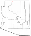
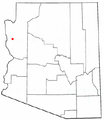
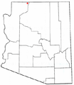
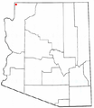
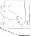
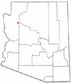
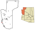
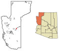
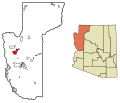
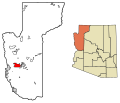
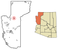
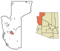
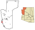
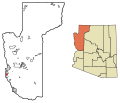
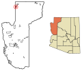
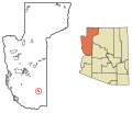
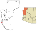
These maps shows the incorporated and unincorporated areas and Indian reservations in Mohave County, Arizona in solid black lines, with unincorporated areas as red dots when boundaries are not defined. Highlighted incorporated areas will appear in red. These maps were created in Inkscape using data from the Mohave county government website and the US Census Bureau.

Subcategories
This category has the following 2 subcategories, out of 2 total.
G
Media in category "Maps of Mohave County, Arizona"
The following 83 files are in this category, out of 83 total.
-
Map of Arizona highlighting Mohave County.svg 893 × 1,099; 260 KB
-
Mohave County Incorporated and Unincorporated areas.svg 600 × 800; 73 KB
-
Antares road structure.png 1,220 × 1,061; 326 KB
-
Arizona State Route 389 map.svg 1,001 × 586; 89 KB
-
AZMap-doton-Colorado City.png 260 × 300; 22 KB
-
AZMap-doton-Desert Hills.png 260 × 300; 22 KB
-
AZMap-doton-Dolan Springs.png 260 × 300; 22 KB
-
AZMap-doton-Fredonia.png 260 × 300; 22 KB
-
AZMap-doton-Golden Valley.png 260 × 300; 22 KB
-
AZMap-doton-Kaibab.png 260 × 300; 22 KB
-
AZMap-doton-Kingman.png 260 × 300; 22 KB
-
AZMap-doton-Lake Havasu City.png 260 × 300; 22 KB
-
AZMap-doton-Littlefield.PNG 260 × 300; 18 KB
-
AZMap-doton-Mesquite Creek.png 260 × 300; 22 KB
-
AZMap-doton-Mohave Valley.png 260 × 300; 22 KB
-
AZMap-doton-Mojave Ranch Estates.png 260 × 300; 22 KB
-
AZMap-doton-New Kingman-Butler.png 260 × 300; 22 KB
-
AZMap-doton-Peach Springs.png 260 × 300; 22 KB
-
AZMap-doton-Willow Valley.png 260 × 300; 22 KB
-
KOAS-FM1 Coverage.jpg 796 × 658; 57 KB
-
KVGS-FM1 Coverage.jpg 743 × 669; 55 KB
-
Mohave County Arizona Test.svg 2,096 × 3,069; 161 KB


