Category:Locator maps of counties of Hungary
Jump to navigation
Jump to search
Subcategories
This category has only the following subcategory.
Media in category "Locator maps of counties of Hungary"
The following 31 files are in this category, out of 31 total.
-
 Alpokalja középtáj térkép 1.png 301 × 198; 5 KB
-
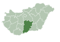 HU county Bacs-Kiskun.svg 1,052 × 744; 172 KB
-
 HU county Baranya.svg 1,052 × 744; 172 KB
-
 HU county Bekes.svg 1,052 × 744; 172 KB
-
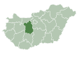
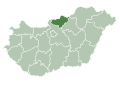
 HU county Borsod Abauj Zemplen.svg 1,052 × 744; 171 KB
-
 HU county Csongrad.svg 1,052 × 744; 171 KB
-
 Duna–Tisza közi homokhátság.png 301 × 195; 4 KB
-
 Dunántúli-középhegység térképe.png 300 × 200; 4 KB
-
 Egerszeg-Letenyei-dombság kistáj.png 301 × 198; 5 KB
-
 HU county Fejer.svg 1,052 × 744; 172 KB
-
 Göcsej kistáj.png 301 × 198; 5 KB
-
 HU county Hajdu-Bihar.svg 1,052 × 744; 171 KB
-
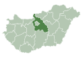
 HU county Heves.svg 1,052 × 744; 171 KB
-
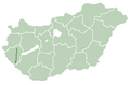
 HU county empty.svg 1,052 × 744; 170 KB
-
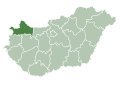 HU county Gyor-Moson-Sopron.svg 1,052 × 744; 172 KB
-
 HU county Jasz-Nagykun-Szolnok.svg 1,052 × 744; 171 KB
-
 Kerka-vidék kistáj.png 301 × 198; 5 KB
-
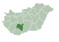
 HU county Komarom-Esztergom.svg 1,052 × 744; 172 KB
-
 Kőszeghegyalja kistáj.png 301 × 198; 5 KB
-
 Mura bal parti sík kistáj.png 301 × 198; 5 KB
-
 HU county Nograd.svg 1,052 × 744; 171 KB
-
 HU county Pest.svg 1,052 × 744; 171 KB
-
 Principális-völgy kistáj.png 301 × 198; 5 KB
-
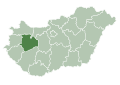
 HU county Somogy.svg 1,052 × 744; 172 KB
-
 HU county Szabolcs-Szatmar-Bereg.svg 1,052 × 744; 171 KB
-
 HU county Tolna.svg 1,052 × 744; 172 KB
-
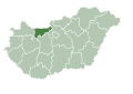
 HU county Vas.svg 1,052 × 744; 172 KB
-
 Vas-Soproni-síkság középtáj.png 301 × 198; 6 KB
-
 HU county Veszprem.svg 1,052 × 744; 172 KB
-
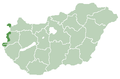
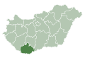
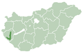
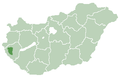
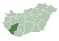
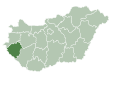 HU county Zala.svg 1,052 × 744; 172 KB
-
 Zalaapáti-hát kistáj.png 301 × 198; 5 KB


