Category:Locator maps of arrondissements of Namur (province)
Jump to navigation
Jump to search
Provinces of Belgium: Province of Antwerp · East Flanders · Flemish Brabant · Hainaut · Limburg · Province of Liege · Province of Namur · Walloon Brabant · West Flanders
Media in category "Locator maps of arrondissements of Namur (province)"
The following 9 files are in this category, out of 9 total.
-
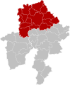
 Arrondissement Dinant Belgium Map.png 230 × 275; 4 KB
-
 Arrondissement Dinant Belgium Map.svg 600 × 725; 2.03 MB
-
 Arrondissement Namur Belgium Map.svg 600 × 725; 2.03 MB
-
 Arrondissement Philippeville Belgium Map.svg 600 × 725; 2.03 MB
-
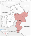 Locator map of Bezirk Dinant 2019.png 2,500 × 2,889; 730 KB
-
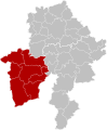
 Arrondissement Namur Belgium Map.png 230 × 275; 4 KB
-
 Locator map of Bezirk Namur 2019.png 2,500 × 2,889; 729 KB
-
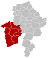 Arrondissement Philippeville Belgium Map.png 230 × 275; 4 KB
-
 Locator map of Bezirk Philippeville 2019.png 2,500 × 2,889; 730 KB


