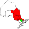
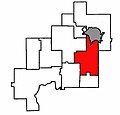
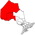
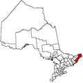
Category:Locator maps of Ontario
Jump to navigation
Jump to search
Provinces and territories of Canada: Alberta · British Columbia · Manitoba · New Brunswick · Newfoundland and Labrador · Nova Scotia · Ontario · Prince Edward Island · Quebec · Saskatchewan · Northwest Territories · Nunavut · Yukon
Subcategories
This category has only the following subcategory.
Media in category "Locator maps of Ontario"
The following 26 files are in this category, out of 26 total.
-
Capreol.jpg 412 × 394; 19 KB
-
Hastings Frontenac Lennox and Addington.png 463 × 326; 17 KB
-
Localisation Ontario.svg 1,084 × 920; 96 KB
-
Mississauga East 1997.png 1,600 × 1,806; 326 KB
-
Neont.PNG 378 × 379; 10 KB
-
Newnortheast.jpg 412 × 394; 20 KB
-
Nickelcentre.jpg 412 × 394; 19 KB
-
Northumberland 1996.png 463 × 326; 17 KB
-
Nwontario.PNG 378 × 379; 9 KB
-
ON-Canada-province.png 852 × 698; 164 KB
-
Onapingfalls.jpg 412 × 394; 19 KB
-
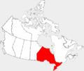
Ontario highlighted in red in Canada.png 1,207 × 1,024; 309 KB
-
Ontario-map.png 280 × 230; 12 KB
-
OntUCDSB.PNG 378 × 379; 9 KB
-
Provmap-on.png 250 × 210; 8 KB
-
Raysidebalfour.jpg 412 × 394; 19 KB
-
Rmsudbury.png 369 × 415; 10 KB
-
Southont.PNG 378 × 379; 10 KB
-
Sudburyriding.png 370 × 381; 9 KB
-
Valleyeast.jpg 412 × 394; 19 KB
-
Waldenontario.jpg 412 × 394; 20 KB
-
Wanup.jpg 412 × 394; 19 KB
-
Welland, riding.png 1,046 × 1,215; 33 KB
-
West Nipissing, Ontario Location.png 378 × 379; 9 KB
-
York North 1997.png 2,079 × 1,806; 350 KB
-
York West, Toronto.png 370 × 352; 7 KB


