Category:Hydrographical maps of the Alps
Jump to navigation
Jump to search
Subcategories
This category has the following 9 subcategories, out of 9 total.
D
E
I
L
R
S
Media in category "Hydrographical maps of the Alps"
The following 10 files are in this category, out of 10 total.
-
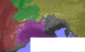 Alps orographic.png 600 × 371; 262 KB
-
 Europa - fiumi - bacini idrografici - spartiacque.png 1,200 × 1,184; 520 KB
-
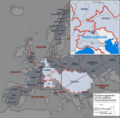 Europäische Wasserscheiden - Zoom auf Pass Lunghin.png 1,200 × 1,184; 700 KB
-
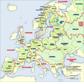 Europäische Wasserscheiden.png 1,200 × 1,184; 526 KB
-
 Europäische-Wasserscheiden-NO.jpg 1,200 × 1,184; 743 KB
-
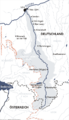 Karte einzugsbereich iller.png 800 × 1,397; 149 KB
-
 LocationPoRiver.PNG 451 × 306; 272 KB
-
 South Alpine lakes.png 1,240 × 765; 599 KB
-
 South Alpine lakes1b+tx.png 1,240 × 765; 599 KB
-
 Головні європейські вододіли.png 1,200 × 1,184; 209 KB


