Category:Election maps of Puebla
Jump to navigation
Jump to search
Media in category "Election maps of Puebla"
The following 10 files are in this category, out of 10 total.
-
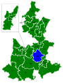 Diputaciones Puebla 2007.svg 765 × 990; 105 KB
-
 Diputados de la LVIII Legislatura del Congreso del Estado de Puebla.svg 1,249 × 1,301; 611 KB
-
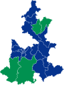
 Diputados de la LX Legislatura del Congreso del Estado de Puebla.svg 1,249 × 1,249; 600 KB
-
 Diputados de la LXI Legislatura del Congreso del Estado de Puebla.svg 1,249 × 1,251; 600 KB
-
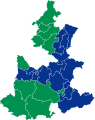
 Elección de Gobernador de Puebla en 2004.svg 1,002 × 1,263; 505 KB
-
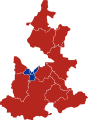
 Elección de Gobernador de Puebla en 2010.svg 1,002 × 1,263; 505 KB
-
 Elección de Gobernador de Puebla en 2016.svg 1,004 × 1,336; 1.04 MB
-
 Elección de Gobernador del Estado de Puebla - 2024.svg 1,000 × 1,063; 274 KB
-
 Eleccíon de gobernador de Puebla, 2019.svg 5,072 × 6,922; 53 KB
-
 Puebla Ayuntamientos 2007.svg 765 × 990; 118 KB


