Category:Biogeographical maps of Angola
Jump to navigation
Jump to search
Countries of Africa: Angola · Botswana · Burundi · Cameroon · Democratic Republic of the Congo · Djibouti · Equatorial Guinea · Ethiopia · Kenya · Madagascar · Mozambique · Namibia · Rwanda · Somalia · South Africa · South Sudan · Sudan · Tanzania · Uganda
Media in category "Biogeographical maps of Angola"
The following 16 files are in this category, out of 16 total.
-
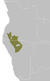
 AT0102 map.png 650 × 836; 24 KB
-
 AT0701 map.png 769 × 834; 26 KB
-
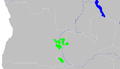
 AT0702 map.png 509 × 821; 16 KB
-
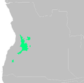
 AT0704 map.png 1,002 × 803; 46 KB
-
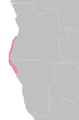
 AT0718 map.png 858 × 834; 33 KB
-
 AT0723 map.png 987 × 831; 38 KB
-
 AT0724 map.png 1,378 × 791; 37 KB
-
 AT0726 map.png 787 × 822; 30 KB
-
 AT0907 map.png 958 × 834; 40 KB
-
 AT1001 map.png 841 × 829; 21 KB
-
 AT1002 map.png 848 × 835; 21 KB
-
 AT1310 map.png 531 × 804; 16 KB
-
 AT1316 map.png 516 × 844; 17 KB
-
 AT1401 map.png 824 × 805; 24 KB
-
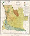
 FLII Angola.png 834 × 906; 741 KB
-
 John Gossweiler04.jpg 4,535 × 5,428; 2.52 MB


