Category:Agricultural maps of Spain
Jump to navigation
Jump to search
Subcategories
This category has the following 2 subcategories, out of 2 total.
A
- Animal husbandry maps of Spain (12 F)
W
Media in category "Agricultural maps of Spain"
The following 26 files are in this category, out of 26 total.
-
 64 of 'Longmans' Junior School Geography, etc' (11195932623).jpg 2,752 × 1,969; 1,008 KB
-
 AgriculturaAlÁndalusOmeya.svg 2,172 × 1,330; 1.22 MB
-
 Catalonia barley cultivation.JPG 363 × 359; 22 KB
-
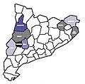 Catalonia maize cultivation.jpg 382 × 375; 40 KB
-
 Catalonia oats cultivation.JPG 373 × 373; 21 KB
-
 Catalonia rice cultivation.jpg 383 × 374; 38 KB
-
 Catalonia rye cultivation.jpg 370 × 359; 20 KB
-
 Catalonia wheat cultivation.JPG 368 × 367; 21 KB
-
 DO Cava Cataluña locator map.svg 800 × 700; 23.69 MB
-
 DO Cava locator map.svg 800 × 600; 2.5 MB
-
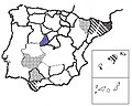
 DO Ribera del Guadiana locator map.svg 800 × 600; 8.51 MB
-
 DO Rioja locator map.svg 800 × 650; 5.13 MB
-
 DO Rueda locator map.svg 800 × 600; 2.69 MB
-
 Espanha - Agricultura.png 1,432 × 912; 480 KB
-
 Ijerph-17-02254-g001.jpg 741 × 420; 44 KB
-
 Malaga cultivos lenosos-regadio.svg 778 × 413; 246 KB
-
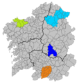 Mapa IXP Pataca de Galicia.png 956 × 1,008; 85 KB
-
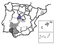
 Sorghum cultivation in Catalonia.jpg 365 × 365; 32 KB
-
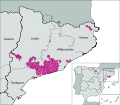
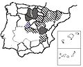
 Sorghum cultivation in Spain.jpg 462 × 370; 36 KB
-
 Spain barley cultivation.JPG 457 × 367; 28 KB
-
 Spain maize cultivation.jpg 475 × 381; 51 KB
-
 Spain oats cultivation.JPG 479 × 381; 31 KB
-
 Spain rice cultivation.jpg 470 × 375; 50 KB
-
 Spain rye cultivation.jpg 469 × 369; 27 KB
-
 Spain triticale cultivation.jpg 487 × 383; 47 KB
-
 Spain wheat cultivation.JPG 485 × 386; 29 KB
.jpg)


