Category:18th-century maps of New Zealand
Jump to navigation
Jump to search
Countries of Oceania: Australia · New Zealand · Samoa · Solomon Islands
Other areas: Hawaii – Partly: Indonesia
Other areas: Hawaii – Partly: Indonesia
Subcategories
This category has the following 4 subcategories, out of 4 total.
.
- 1750s maps of New Zealand (1 F)
Media in category "18th-century maps of New Zealand"
The following 9 files are in this category, out of 9 total.
-
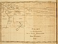
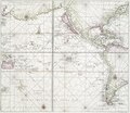 Pacific Ocean showing part of North and South America.) NYPL478199.tiff 4,108 × 3,563; 41.88 MB
-
 Sketch of Dusky Bay in New Zealand (BM 2016,2094.1).jpg 2,500 × 1,693; 613 KB
-

-
 L'Amerique divisée Par Grands Etats Par le Sr Janvier Géographe A Paris (MAPS 31).jpg 7,254 × 4,980; 6.95 MB
-
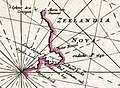 New Zealand (1715).jpg 1,023 × 752; 146 KB
-
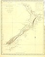 New Zealand accountofvoyages 02hawk 0364.jpg 2,807 × 3,603; 730 KB
-

-
 River Thames etc. accountofvoyages 02hawk 0414.jpg 3,876 × 2,564; 806 KB
-
.jpg)
.jpg)
.jpg)
.jpg)

.jpg)

.jpg)