Category:1861 maps of Quebec
Jump to navigation
Jump to search
Media in category "1861 maps of Quebec"
The following 2 files are in this category, out of 2 total.
-
 Admiralty Chart No 2830a Quebec to Point du Lac, Published 1861.jpg 11,900 × 8,018; 7.87 MB
-
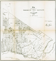 Map of the counties of Terrebonne Two Mountains and Argenteuil.png 1,836 × 1,981; 3.27 MB

