Category:1855 maps of France
Jump to navigation
Jump to search
Media in category "1855 maps of France"
The following 22 files are in this category, out of 22 total.
-
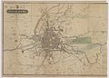
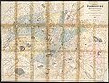
 1857 Colton Map of Paris, France - Geographicus - Paris-cbl-1855.jpg 3,500 × 2,855; 2.92 MB
-
 1fi74 Plan de Rennes avec gare.jpg 6,741 × 4,839; 2.59 MB
-

-
 Atlas des Basses-Pyrénées - 1855.jpg 13,134 × 8,738; 22.85 MB
-
 Atlas du département de l'Ariège, carte générale.jpg 9,408 × 7,206; 9.91 MB
-
 Carte du département de l'Aisne - 1855 (with road numbers).jpg 6,567 × 9,028; 12.26 MB
-
 Carte du département de l'Aisne - 1855.jpg 6,567 × 9,028; 10.51 MB
-
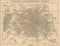
 Carte routière du département de l'Ain - 1855.jpg 10,239 × 9,011; 13.77 MB
-
 Cédille, Plan de Paris pour l'Exposition de 1855 - Gallica.jpg 10,876 × 7,740; 20.81 MB
-
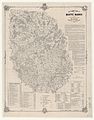 Département de la Haute-Marne - 1855.jpg 7,243 × 9,222; 12.81 MB
-
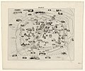
 Map of Paris, 1855 Wellcome L0013020.jpg 1,490 × 1,232; 924 KB
-
 Map of Paris, ca. 1855 - Stanford Libraries.jpg 6,915 × 8,135; 8.55 MB
-
 Map of Paris, ca. 1855 - Stanford Libraries.tif 6,915 × 8,135; 53.67 MB
-
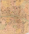
 Nouveau plan de Paris illustré avec toutes ses fortifications... 1855 - Gallica.jpg 10,871 × 7,615; 22.51 MB
-
-
 Paris - 1855 by Testard, 1855 - Gallica.jpg 11,073 × 7,634; 24.49 MB
-
 Paris by Buland, 1855 - Gallica.jpg 9,244 × 7,713; 16.33 MB
-
 Paris nouveau by Alexandre Vuillemin, 1855 - Gallica.jpg 11,259 × 8,580; 21.3 MB
-
 Paris nouveau, 1855 by Alexandre Vuillemin - Stanford Libraries.jpg 13,977 × 10,828; 40.07 MB
-
 Paris nouveau, 1855 by Alexandre Vuillemin - Stanford Libraries.tif 13,977 × 10,828; 144.36 MB
-
 Street plan with hospitals. Wellcome L0000679.jpg 1,566 × 1,206; 890 KB
-
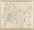
 The environs of Paris by J.H. Colton & Co., 1855 - Stanford Libraries.jpg 7,506 × 6,555; 19.95 MB


%27_(11023178816).jpg)


.jpg)


