Category:1830s maps of North Rhine-Westphalia
Jump to navigation
Jump to search
Federal states of Germany:
Subcategories
This category has the following 2 subcategories, out of 2 total.
Media in category "1830s maps of North Rhine-Westphalia"
The following 2 files are in this category, out of 2 total.
-
 Jülich-Cleve-Berg1836.jpg 2,899 × 2,172; 2.46 MB
-
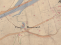 Haus Bamenohl in der Uraufnahme 1830.png 1,379 × 1,023; 2.22 MB

