Category:1710s maps of Denmark
Jump to navigation
Jump to search
Media in category "1710s maps of Denmark"
The following 3 files are in this category, out of 3 total.
-
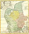 1710 Homann Map of Denmark "Iutiae" - Geographicus - Iutiae-homann-1710.jpg 2,500 × 2,935; 2.42 MB
-
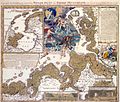 Weihnachtsflut61.jpg 2,048 × 1,749; 2.46 MB
-
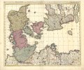 Map - Special Collections University of Amsterdam - OTM- HB-KZL 31-09-33.tif 7,496 × 6,264; 134.34 MB

