Category:16th-century maps of Saxony
Jump to navigation
Jump to search
Federal states of Germany:
Subcategories
This category has the following 2 subcategories, out of 2 total.
- 16th-century maps of Dresden (24 F)
M
Media in category "16th-century maps of Saxony"
This category contains only the following file.
-
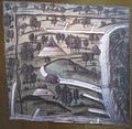 Eibenstock Carlsfeld Bergrevier Bildkarte von 1520 2.jpg 2,919 × 2,858; 1.06 MB
