Category:16th-century maps of Florida
Jump to navigation
Jump to search
States of the United States: Alaska · California · Florida · Georgia · Massachusetts · New York · North Carolina · South Carolina · Virginia
Puerto Rico
Puerto Rico
Media in category "16th-century maps of Florida"
The following 16 files are in this category, out of 16 total.
-
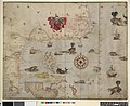
 Tierra nveva (NYPL b13868891-484204).jpg 4,776 × 3,646; 3.16 MB
-
 Il Desegno del Discoperto della Nova Franza.jpg 2,131 × 1,500; 888 KB
-
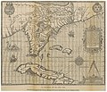
 Los Roques -Atlas Ortelius KB PPN369376781-004av-004br.jpg 876 × 612; 326 KB
-
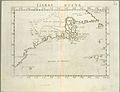
 Map of northern la Florida 1584.png 1,032 × 627; 1.18 MB
-
 RUIDIAZ(1893) 1.033 LA FLORIDA EN EL AÑO 1591.jpg 4,121 × 3,549; 8.46 MB
-

-

-
 Drawing, map (BM 1906,0509.1.2).jpg 2,500 × 2,043; 703 KB
-
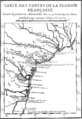 French Florida 1562.gif 619 × 900; 62 KB
-
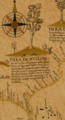 Land of Ayllon.png 365 × 675; 452 KB
-

-
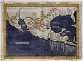
 Mapa del Caribe y América Central (Siglo XVI).jpg 848 × 1,115; 998 KB
-
 Mapstaug.jpg 590 × 517; 463 KB
-

-
 Saint Augustine Map, 1589 WDL3936.png 1,221 × 1,024; 2.58 MB
-
 Ruscelli Nueva Hispania Tabula Nova 1574 UTA.jpg 6,497 × 4,779; 9.78 MB
.jpg)


_1.033_LA_FLORIDA_EN_EL_A%C3%91O_1591.jpg)

_-_AHG.jpg)
.jpg)


.jpg)


