Category:1670s maps of India
Jump to navigation
Jump to search
Media in category "1670s maps of India"
The following 4 files are in this category, out of 4 total.
-
-
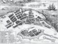 Fort Kochi City Map 1672.png 1,170 × 888; 1.61 MB
-
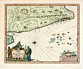
 B26055973D - A new map of East India.jpg 6,768 × 5,302; 8.89 MB
-
 Travels of Pietro della Valle-1.png 1,752 × 1,231; 857 KB
*.jpg)


