Category:1620s maps of Denmark
Jump to navigation
Jump to search
Media in category "1620s maps of Denmark"
The following 3 files are in this category, out of 3 total.
-
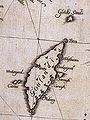 Gotland, 1626 map by Andreas Bureus.jpg 675 × 900; 119 KB
-
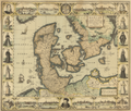 Daniae - Johannes Janssonius - 1629.png 12,171 × 10,395; 222.2 MB
-


.jpg)