Category:1550s maps of the Balkans
Jump to navigation
Jump to search
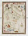
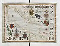
English: This category is intended to collect maps from the 1550s that show multiple Balkan countries in one map frame.
Media in category "1550s maps of the Balkans"
The following 3 files are in this category, out of 3 total.
-
-
-
 Transylvania1559.jpg 892 × 1,276; 701 KB
.jpg)
.jpg)