Category:Žagarė in maps
Jump to navigation
Jump to search
This category includes the images that spot Žagarė city in larger geographical area. For maps that specifically represent the city of Žagarė more in detail, see Category:Maps of Žagarė.
Media in category "Žagarė in maps"
The following 3 files are in this category, out of 3 total.
-
 R200 O34-18ne.jpg 2,244 × 1,391; 4.2 MB
-
 USSR map NO 34-12 Jelgava.jpg 5,705 × 4,343; 7.19 MB
-
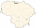 LietuvaZagare.png 721 × 556; 28 KB


