User:Mjrmtg/Georgia Decatur County gallery
Jump to navigation
Jump to search

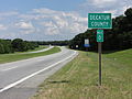
Decatur County, Georgia[edit]
-
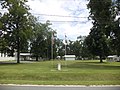
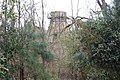
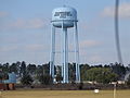 Bainbridge Army Airfield water tower
 -
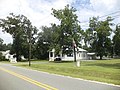
 Calvary Assembly of God
 -
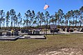 Calvary Assembly of God cemetery
 -
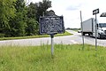
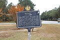
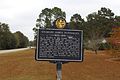 Charles James Munnerlyn historical marker
 -
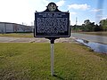
 Cyrene historical marker
 -
 Cyrene Institute historical marker
 -
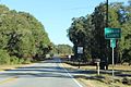
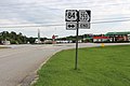
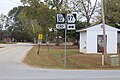
 Decatur/Gadsden County border, GA97
 -
 Decatur/Seminole County border, US84EB
 -
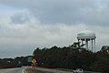 Georgia SR84EB Bainbridge water tower
 -
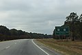
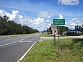
 Georgia US84EB Faceville Hwy Exit
 -
 Georgia SR84EB GA97 .5 mile
 -
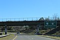
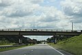
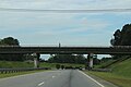
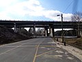
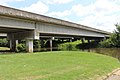
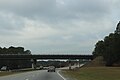 Georgia SR84EB Lake Douglas Rd Overpass
 -
 Georgia US84EB Shotwell St Exit
 -
 Georgia US84EB Shotwell St Exit .5 mile
 -
 Georgia US84EB Shotwell St Exit next right
 -
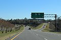
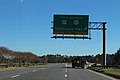
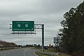
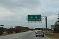 Georgia SR84EB US27 exit
 -
 Georgia SR84EB US27 exit 1 mile
 -
 Georgia US84EB US27 Exit .75 mile
 -
 Georgia US84EB US27 Exit ahead
 -
 Georgia US84EB US27 Exit ramp
 -
 Georgia State Line, Decatur County, US27NB
 -
 Georgia State Route 97 Spur end at GA97
 -
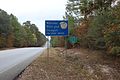
 Georgia State Route 285 eastern terminus
 -
 GA285 EB end, Decatur County
 -
 Georgia State Route 285, Decatur/Seminole County border
 -
 Georgia State Route 302 Northern terminus
 -
 Georgia welcome, GA97
 -
 Georgia welcome sign, US27NB
 -
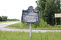
 Grady/Decatur County border, US84EB
 -
 McCrayville limit, US27NB
 -
 Refuge historical marker
 -
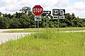
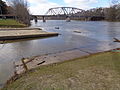
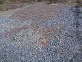
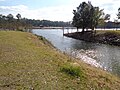
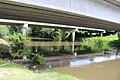
 Rocks at the US84 bridge over Spring Creek
 -
 Seminole Decatur County border, GA253WB
 -
 Smokestack, Brinson Airbase Rd
 -
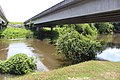
 Spring Creek, Decatur County, US84 EB
 -
 The Pines Golf Couse
 -
 William Belk Lynn and Lynn Station historical marker (back)
 -
 William Belk Lynn and Lynn Station historical marker (front)


.JPG)
.JPG)
Faceville Landing Park[edit]
-
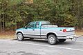 Chevrolet S10 pickup
 -
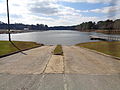
 Boat ramp
 -
 Boat ramp, kiosk
 -
 Camp site 6
 -
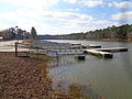
 Dock
Dock -
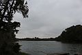 Lake Seminole
 -
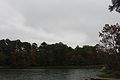 Lake Seminole
 -
 Lake Seminole
 -
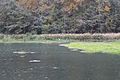 Lake Seminole
 -
 Picnic shelter, grill, trash can
 -
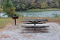 Picnic table, grill, Lake Seminole
 -
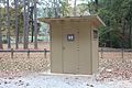 Restroom
 -
 Shelter L36
 -
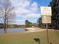
 Sign
Sign


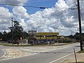
Amsterdam[edit]
-
 Bishop's Travel Center

Bainbridge[edit]
-
 100 Block E Water St
 -
 108 E Broughton St
 -
 116 N Broad St
 -
 121 N West St
 -
 Alderman's
 -
 Anytime Fitness
 -
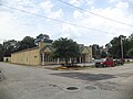
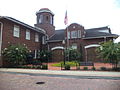
 Bainbridge City Hall
 -
 Bainbridge city limit, US84EB
 -
 Bainbridge city Limit, US84WB
 -
 Bainbridge former Post Office corner stone
 -
 Bainbridge former Post Office geodetic survey marker
 -
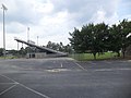
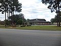
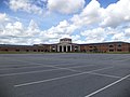
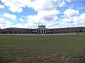
 Bainbridge High School Football Stadium
 -
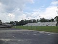
 Bainbridge High School Football Stadium
 -
 Bainbridge High School Football Stadium
 -
 Bainbridge High School Football Stadium
 -
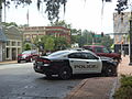 Bainbridge Police Car
 -
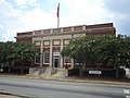
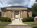
 Bainbridge Post Office
 -
 Bainbridge Public Safety Headquarters
 -
 Bainbridge welcome sign, US84EB
 -
 Bank of the Ozarks
 -
 Bank of the Ozarks corner
 -
 Bearcats Express
 -
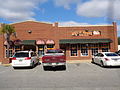
 Beef O Brady's
 -
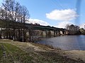
 Boat ramp and railroad trestle
 -
 Boat ramp to Flint River
 -
 Bonnie Blue House Restaurant
 -
 Boyd's Pit Bar-B-Que and Grill
 -
 Building in Decatur County Industrial Park
 -
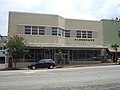
 Callahan Building
 -
 Camp Recovery Historical Marker
 -
 Cox Funeral Home
 -
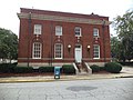
 Decatur County Administrative Offices
 -
 Decatur County Board of Education
 -
 Decatur County Board of Education (East face)
 -
 Decatur County Courthouse Annex
 -
 Decatur County Courthouse Annex
 -
 Decatur County Courthouse geodetic survey marker
 -
 Decatur County Historical and Genealogical Society
 -
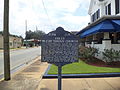
 Decatur County Historical Marker
 -
 Department of Driver Services
 -
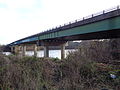 Dothan Rd bridge over Flint River looking EB
 -
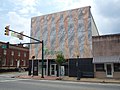
 E. J. Perry Building
 -
 Elberta Crate and Box Company
 -
 Elcan King Elementary School
 -
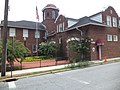
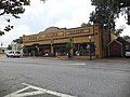
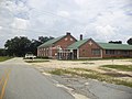
 Firehouse Center and Gallery East face
 -
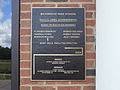
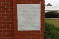
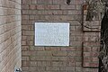
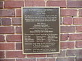 Firehouse Center and Gallery Renovation 2007 plaque
 -
 Firehouse Center and Gallery Renovation 2007 plaque
 -
 Firehouse Center and Gallery South face
 -
 First African Missionary Baptist Church (SW corner)
 -
 First African Missionary Baptist Church (West face)
 -
 First Presbyterian Church Historical Marker
 -
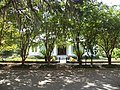
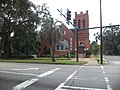 First Presbyterian Church
 -
 Fleming Building
 -
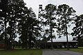 Forestry Commission Tower
 -
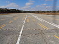 Former Commodore Decatur Airport runway
 -
 Former Commodore Decatur Airport runway
 -
 Fort Hughes historical marker
 -
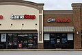 Game Stop and Sky Nails
 -
 Georgia Forestry Commission
 -
 GA253SpurNB end
 -
Game Stop and Sky Nails
-
 Georgia US84EB Faceville Hwy Exit .5 mile
 -
 Georgia US84EB GA253 exit
 -
 Georgia US84EB GA253 Overpass
 -
 Georgia US84EB Lake Douglas Rd Overpass
 -
 Georgia US84EB S West St Overpass
 -
 Georgia US84EB US84B turn left
 -
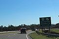
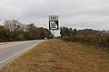
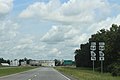
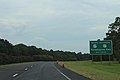
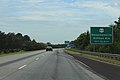
 Georgia SR84EB Donalsonville Exit
 -
 Georgia SR84WB GA97 309 end of exit ramp
 -
 Georgia SR84WB GA97 309 exit ahead
 -
 Georgia SR84WB GA97 309 exit now
 -
 Georgia US84WB GA253
 -
 Georgia US84WB GA253 .5 mile
 -
 Georgia US84WB GA253 Overpass
 -
 Georgia US84WB Lake Douglas Road Overpass
 -
 Georgia US84WB Lake Douglas Road Overpass
 -
 Georgia US84WB S West St Overpass
 -
 Georgia US84WB Shotwell St
 -
 Georgia US84WB Shotwell St .25 mile
 -
 Georgia US84WB SR97 Overpass
 -
 Georgia US84WB SR309 Overpass
 -
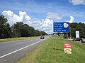
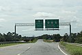
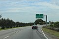
 Georgia US84WB US27 exit
 -
 Georgia US84WB US27 1 mile
 -
 Georgia US84WB US84 exit
 -
 Georgia US84WB US84 .25 mile
 -
 Gilbert H. Gragg Library
 -
 GA253 at GA38 offramp
 -
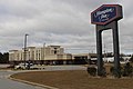 Hampton Inn
 -
 Holiday Inn Express
 -
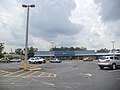
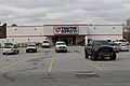
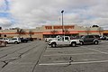 Home Depot
 -
 Inlet from Flint River
 -
 J.W. Callahan House (from across street)
 -
 J.W. Callahan House (from sidewalk)
 -
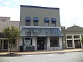
 Jacobik Antique Gallery
 -
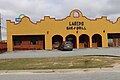 Laredo Bar & Grill
 -
 Maryland Fried Chicken
 -
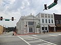
 Masonic Temple
 -
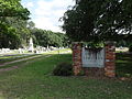
 Oak Hill Cemetery
 -
 Old bricks from road near Dothan Rd bridge over Flint River
 -
 Railroad trestle over Flint River
 -
 Regions Bank
 -
 Riverpointe
 -
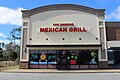 San Marcos Mexican Grill
 -
 Stone's Hardware
 -
 Steamboats historical marker (back)
 -
 Steamboats historical marker (front)
 -
 Temple Bethel
 -
 The Post - Searchlight
 -
 Tractor Supply
 -
 US84 bridge over Flint River
 -
 US84 bridge over Hatcher Rd, Flint River
 -
 West Bainbridge United Methodist Church


.JPG)


,_Bainbridge.JPG)
,_Bainbridge.JPG)


,_Bainbridge.JPG)
,_Bainbridge.JPG)


,_Bainbridge.JPG)
,_Bainbridge.JPG)


Bainbridge High School[edit]
-
 Band building
 -
 Bearcat diamonds
 -
 East face
 -
 North face
 -
 Plaque
 -
 Tennis courts
 -
 Water tower, baseball field


.JPG)
.JPG)


Commodore Decatur Airport[edit]
-
 geodetic survey marker

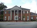
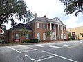
Decatur County Courthouse[edit]
-
 Decatur County Courthouse (NW corner)
 -
 Decatur County Courthouse (SouthEast face)
 -
 Decatur County Courthouse (SouthEast face)
 -
 Decatur County Courthouse cornerstone
.JPG)
.JPG)
_2.JPG)

Earle May Boat Basin Park[edit]
-
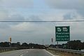
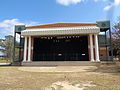 Bainbridge Performing Arts Building
 -
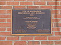 Bainbridge Performing Arts Building plaque
 -
 Bainbridge, Decatur County Chamber of Commerce
 -
 Beach
Beach -
 Boat docks
 -
 Boat docks
 -
 Boat ramps
 -
 Camp Recovery historical marker
 -
 Do not feed animals sign
 -
 Donkey
 -
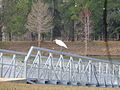
 Egret in flight
 -
 Egret in flight
 -
 Egret
Egret -
 Inlet from Flint River
 -
 Jack Wingate Outdoor Classroom
 -
 Water near beach
 -
 Welcome sign


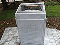
Willis Park[edit]
-
 American Legion Memorial
 -
 Bainbridge Independents Plaque
 -
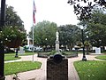 Cannon and back of Confederate Monument
 -
 Confederate Monument
 -
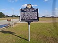
 DeSoto Trail Historical Marker
 -
 El Camino Real Historical Marker
 -
 Mary Davis Memorial
 -
 Pond
Pond -
 Samuel Marvin Griffin Memorial
 -
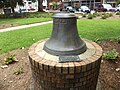 Steamboat Bell
 -
 United Daughters of the Confederacy Monument
 -
 War Memorial
 -
 Willis Park 1904 Marker


Brinson[edit]
-
 Brinson Cemetery
 -
 Brinson Municipal Building & Fire Department
 -
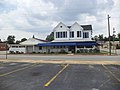
 Brinson Post Office
 -
 Brinson Town Hall
 -
 Brinson, US84 EB
 -
 Brinson City Limit, US84 WB
 -
 Clifford St, Brinson RR Crossing
 -
 Clifford St, Brinson RR NorthWest bound
 -
 Clifford St, Brinson RR SouthEast bound
 -
 Simeon Brinson historical marker


Brinson Bridge Landing[edit]
-
 Public Boat Ramp sign
 -
Rocks at the US84 bridge over Spring Creek
-
 Spring Creek
 -
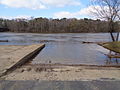
 Spring Creek boat ramp
 -
 Underside of US84 bridge over Spring Creek
 -
 US84 bridge, Spring Creek
 -
 US84 bridge over Spring Creek


Climax[edit]
-
 101 Main St (NE corner)
 -
 101 Main St (SE corner)
 -
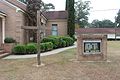
 Climax City Hall
 -
 Climax City sign
 -
 Climax Fire Department
 -
 Climax Historical Marker
 -
 Climax United Methodist Church Flagpoles
 -
 Climax United Methodist Church Plaque
 -
 Climax United Methodist Church
 -
 Climax Water Tower
 -
 Decatur County Recycling Center in Climax
 -
 Former Climax Post Office
,_Climax.JPG)
,_Climax.JPG)


Climax Consolidated School[edit]
-
 Cornerstone
 -
 Head Start
 -
 Head Start Center sign


Parker Memorial Park[edit]
-
 Climax Time Capsule
 -
 Decatur County Veterans Memorial Benches
 -
 Decatur County Veterans Memorial
 -
 Flagpole in Parker Memorial Park
 -
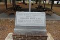
 Parker Memorial Park Plaque
 -
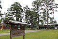
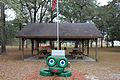
 Parker Memorial Park, Entrance and Picnic Shelter


Faceville[edit]
-
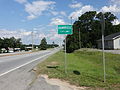
 Faceville limit GA97SB
 -
 Faceville Lodge #487
 -
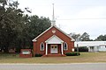 Faceville United Methodist Church
 -
 Faceville United Methodist Church corner stone
 -
 Faceville volunteer fire department
 -
 Georgia State Route 302 Spur end at GA97
 -
 Ira Sanborn historical marker


Everett Murray Community Park[edit]
-
 Marker
 -
 Picnic shelter
 -


Faceville Baptist Church[edit]
-
 Corner stone
 -
 Renovation corner stone
 -
 Sign
Sign -
 Faceville Baptist Church


Fowlstown[edit]
-
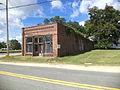
 Fowlstown post office
 -
 Fowlstown tower
 -
 Fowlstown volunteer fire department


