User:Giftzwerg 88/Fotoprojekt Waldachtal
Jump to navigation
Jump to search
| This is a gallery of files created by Giftzwerg 88. |
Waldachtal besteht aus mehreren Orten, darunter Tumlingen, Hörschweiler und Lützenhardt (nicht zu verwechseln mit Lützenhardt einem Teil von Sommenhardt).
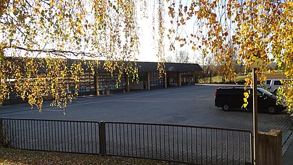
Grund- u. Hauptschule mit Werkrealschule[edit]
| Object location | | View all coordinates using: OpenStreetMap |
|---|
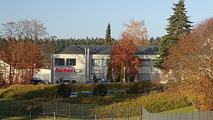
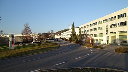
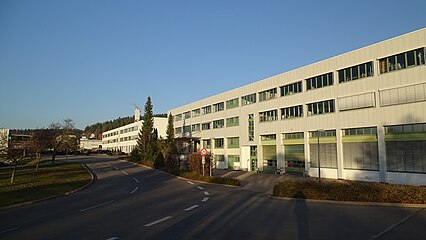
Fischerwerke[edit]
| Object location | | View all coordinates using: OpenStreetMap |
|---|
Busdepot[edit]
| Object location | | View all coordinates using: OpenStreetMap |
|---|
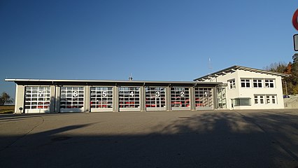
Feuerwehr[edit]
| Object location | | View all coordinates using: OpenStreetMap |
|---|


