User:Giftzwerg 88/Fotoprojekt Neubulach
Jump to navigation
Jump to search
| This is a gallery of files created by Giftzwerg 88. |
Cafe Waldlust[edit]
| Object location | | View all coordinates using: OpenStreetMap |
|---|
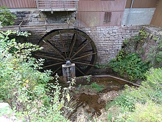
Lochsägemühle[edit]
| Object location | | View all coordinates using: OpenStreetMap |
|---|
Gebäude[edit]
Calwer Tor[edit]
| Object location | | View all coordinates using: OpenStreetMap |
|---|
Brunnen[edit]
| Object location | | View all coordinates using: OpenStreetMap |
|---|
Friedhof[edit]
| Object location | | View all coordinates using: OpenStreetMap |
|---|
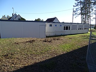
Schule[edit]
| Object location | | View all coordinates using: OpenStreetMap |
|---|


