User:Giftzwerg 88/Fotoprojekt Honau
Jump to navigation
Jump to search
| This is a gallery of files created by Giftzwerg 88. |
Schloss Lichtenstein[edit]
| Object location | | View all coordinates using: OpenStreetMap |
|---|
Zahnradtrasse Traifelberg[edit]
| Object location | | View all coordinates using: OpenStreetMap |
|---|
Die Honauer Steige und die Trasse der Zahnradbahn
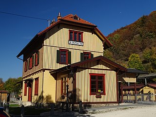
Bahnhof Honau[edit]
| Object location | | View all coordinates using: OpenStreetMap |
|---|
Der Bahnhof ist stillgelegt, soll aber reaktiviert werden. Honau war der Beginn der Zahnradstrecke.
Galluskirche Honau[edit]
| Object location | | View all coordinates using: OpenStreetMap |
|---|


