User:Giftzwerg 88/Fotoprojekt Döffingen
Jump to navigation
Jump to search
| This is a gallery of files created by Giftzwerg 88. |
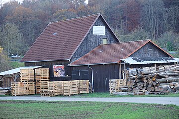
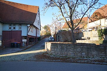
Sindelfinger Weg[edit]
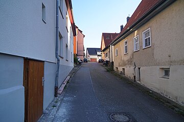
Maichinger Straße[edit]
Marktplatz[edit]
| Object location | | View all coordinates using: OpenStreetMap |
|---|
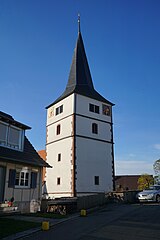
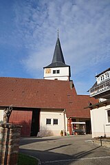
Martinskirche[edit]
| Object location | | View all coordinates using: OpenStreetMap |
|---|
Pfarrbrunnen[edit]
| Object location | | View all coordinates using: OpenStreetMap |
|---|
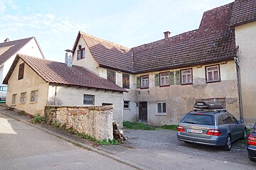
Bergstraße[edit]
Ulrichweg[edit]
Dätzinger Straße[edit]
Rathaus Dätzinger Straße[edit]
| Object location | | View all coordinates using: OpenStreetMap |
|---|
Zehntscheune[edit]
| Object location | | View all coordinates using: OpenStreetMap |
|---|
Druckerei[edit]
| Object location | | View all coordinates using: OpenStreetMap |
|---|
Zehnthof[edit]
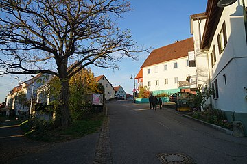
Bei der Linde[edit]
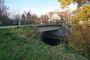
Mühlgasse[edit]
Wittumstraße[edit]
Hirschplan[edit]
Hakenhof[edit]
| Object location | | View all coordinates using: OpenStreetMap |
|---|
Brandstraße[edit]
Sophie-Scholl-Straße[edit]
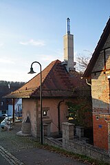
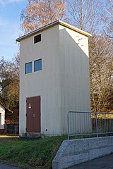
Trafostation Hans-Kudlich-Straße[edit]
| Object location | | View all coordinates using: OpenStreetMap |
|---|


