<nowiki>Urmond; Urmond; Urmond; Urmond; Urmond; Urmond; Урмонд; Urmond; ارموند; Urmond; Urmond; Urmond; Urmond; Urmond; Werment; Urmond; Urmond; Hollanda'da belediye; localité de la commune de Stein; Uertschaft an der Gemeng Stein; муніципалітет у Нідерландах; dorp in de Limburgse gemeente Stein, Nederland; farm village in the Netherlands; village in Stein, Netherlands; Gemeinde in den Niederlanden; قرية في هولندا; fshat në Hollandë; farm village in the Netherlands; località dei Paesi Bassi; conceyu de los Países Baxos; Uermend; Ürmont; Ürmond; Werment; Uermend; Uerment; Urmunj; Urmond; Wermend</nowiki>
This is a gallery page containing specially selected image and media files. They have been chosen as highlights of a particular topic, but do not represent the full range of files that are available on Commons. For a wider selection of files connected with Urmond, see Category:Urmond.

.png)


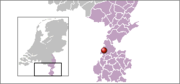 Locatie
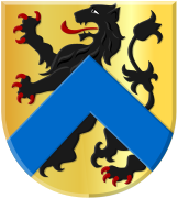 Wapen
Wapen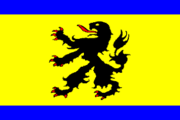 Vlag
Vlag Rijksbeschermd gezicht
 N.H. Kerk met begraafplaats
 Terpkerk
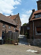 Trappenstraatje
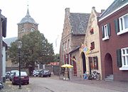 Grotestraat
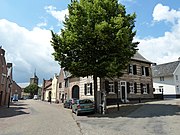 Grotestraat (L) en Hoolstraat (R)
 Dorpspomp
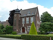 Voormalig raadhuis
 Bondsschuttersfeest
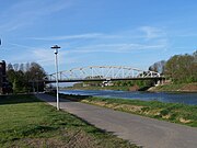 Kanaalbrug tussen Oud en Oost
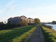 Urmond-Oost
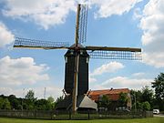 Standerdmolen
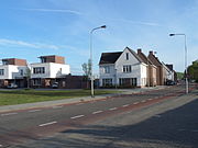 Kanaalboulevard
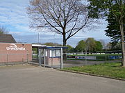 Sportveld
 DSM-kantoor.jpg
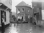 Overstroming december 1952
.JPG)
.JPG)
.JPG)


