Joseph Bouchette
Jump to navigation
Jump to search
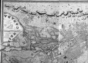
English: Joseph Bouchette (1774-1841)
Français : Joseph Bouchette a dessiné des cartes de très grand format. Elles ont été découpées en plusieurs images afin de les téléverser ici.
Topographical map of the province of Lower Canada, 1815
[edit]01
[edit]2 images
02
[edit]4 images

|

|

|

|
Topographical map of the districts of Quebec, Three Rivers, St.Francis and Gaspé, Lower Canada, 1831
[edit]4 images

|

|

|

|
District of Montreal, 1831
[edit]4 images


