Grebbeberg
Jump to navigation
Jump to search
hill in the municipality of Rhenen, in the central Netherlands  | |||||
| Upload media | |||||
| Instance of | |||||
|---|---|---|---|---|---|
| Location | Rhenen, Utrecht, Netherlands | ||||
| Maintained by | |||||
| Has part(s) | |||||
| Significant event |
| ||||
 | |||||
Nederlands: De Grebbeberg in Rhenen is een 52 meter hoge heuvel die de zuidoostelijke punt vormt van de Utrechtse Heuvelrug. In de eerste dagen van de Tweede Wereldoorloog is er zwaar gevochten.
Overzicht[edit]
-
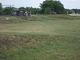
 Luchtfoto
 -
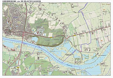 Ligging


Grebbelinie[edit]
-
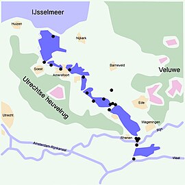 Ligging
 -
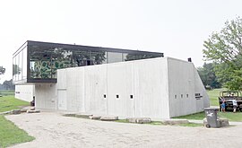 Grebbelinie Bezoekerscentrum
 -
 Hoornwerk bij Rhenen (en Grebbeberg op de achtergrond)
 -
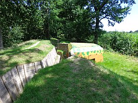
 Resten loopgraaf bij Rhenen (reconstructie)
 -
 Bij Veenendaal
 -
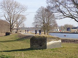
 Fort aan de Buursteeg kochbunkers (Renswoude)
 -
 Linie van de Juffrouwwijk
 -
 Voormalig fort Daatselaar
 -
 Post van Lambalgen
 -
 Bruinenburgersluis (bij Woudenberg)
 -
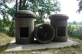
 Bunker bij Woudenberg
 -
 Asschatterkade bij Leusden
 -
 Museumbunker bij Leusden
 -
 Rij bunkers bij Amersfoort


.jpg)


.jpg)


Militaire erebegraafplaats[edit]
-
 Overzicht
 -
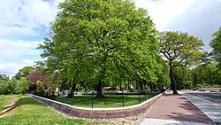
 Nationaal Legermonument
 -
 Monument voor de vermisten mei 1940
 -
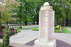 Monument gevallenen 10-15 mei 1940
 -
 Monument Vrijwillige Landstorm
 -
 Oorlogsgraven
 -

.jpg)


