File:Swinoujscie location map.png
Jump to navigation
Jump to search
Size of this preview: 647 × 599 pixels. Other resolutions: 259 × 240 pixels | 518 × 480 pixels | 829 × 768 pixels | 1,182 × 1,095 pixels.
Original file (1,182 × 1,095 pixels, file size: 429 KB, MIME type: image/png)
Captions
Captions
Add a one-line explanation of what this file represents
Summary[edit]
| Description |
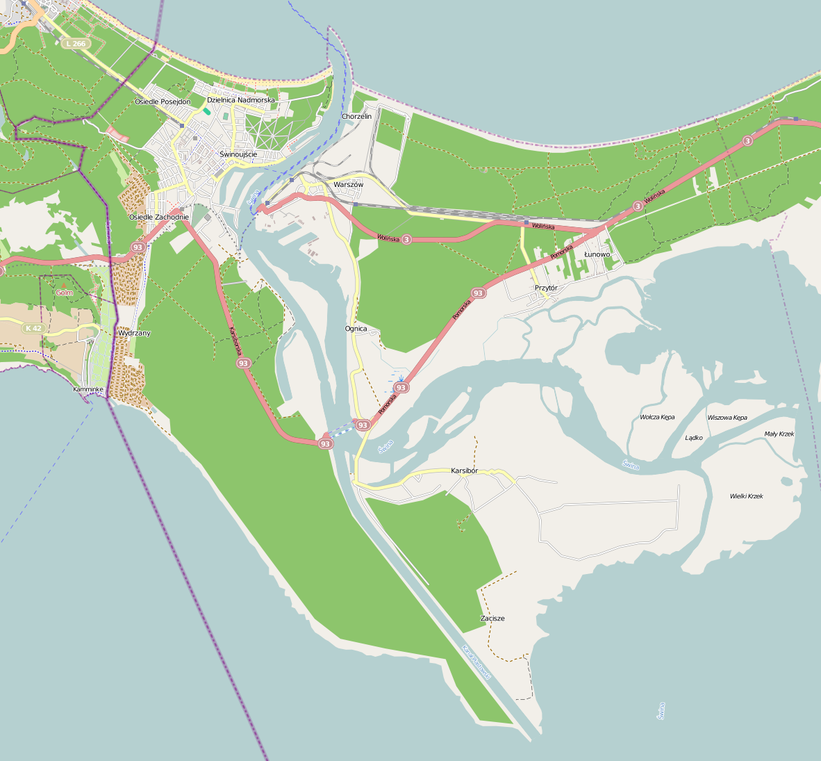
English: OpenStreetMap location map of Świnoujście, Poland
|
| Date | |
| Source | OpenStreetMap |
| Author | OpenStreetMap contributors |
Licensing[edit]
| This work contains information from OpenStreetMap, which is made available under the Open Database License (ODbL).
The ODbL does not require any particular license for maps produced from ODbL data. Prior to 1 August 2020, map tiles produced by the OpenStreetMap Foundation were licensed under the CC-BY-SA-2.0 license. Maps produced by other people may be subject to other licences. |
File history
Click on a date/time to view the file as it appeared at that time.
| Date/Time | Thumbnail | Dimensions | User | Comment | |
|---|---|---|---|---|---|
| current | 21:38, 8 January 2013 | | 1,182 × 1,095 (429 KB) | Kenraiz (talk | contribs) | User created page with UploadWizard |
You cannot overwrite this file.
File usage on Commons
There are no pages that use this file.
File usage on other wikis
The following other wikis use this file:
- Usage on fr.wikipedia.org
- Usage on pl.wikipedia.org
- Wielki Krzek
- Wydrza Kępa
- Karsibór (wyspa)
- Karsibór (Świnoujście)
- Warszów
- Most Piastowski w Świnoujściu
- Kościół Niepokalanego Poczęcia Najświętszej Maryi Panny w Świnoujściu
- Pomnik lotników RAF w Świnoujściu
- Parafia Świętych Stanisława i Bonifacego Biskupów Męczenników w Świnoujściu
- OT Port Świnoujście
- Latarnia Morska Świnoujście
- Świnoujście Port
- Świnoujście (stacja kolejowa)
- Terminal Promowy Świnoujście
- Świnoujście Warszów
- Świnoujście Przytór
- Rezerwat społeczny Karsiborska Kępa
- Ognica (Świnoujście)
- Świnoujście Główne
- Karsiborska Kępa
- Przejście graniczne Świnoujście-Ahlbeck
- Świnoujście Nieradków
- Paprotno (Świnoujście)
- Łunowo
- Fort Anioła w Świnoujściu
- Wicko Wielkie
- Przytór
- Fort Zachodni w Świnoujściu
- Fort Gerharda w Świnoujściu
- Fort I Twierdzy Świnoujście
- Synagoga w Świnoujściu
- Przejście graniczne Świnoujście-Garz
- Osiedle Zachodnie (Świnoujście)
- Dzielnica Nadmorska
- Osiedle Matejki (Świnoujście)
- Osiedle Posejdon (Świnoujście)
- Polskie LNG
- Morskie przejście graniczne Świnoujście
- Śródmieście (Świnoujście)
- Kościół Chrystusa Króla w Świnoujściu
- Żegluga Świnoujska
- Muzeum Rybołówstwa Morskiego w Świnoujściu
- Zespół Szkół Morskich w Świnoujściu
- Świnoujście Centrum
- Świnoujście Port (Uznam)
- Chełmek (wyspa)
- Zbór Kościoła Ewangelicznych Chrześcijan w Świnoujściu
- Kościół Najświętszej Maryi Panny Gwiazdy Morza w Świnoujściu
- Port morski Świnoujście
View more global usage of this file.