File:Svárov, Dolní Podkozí, bedla.JPG
Jump to navigation
Jump to search
Size of this preview: 800 × 600 pixels. Other resolutions: 320 × 240 pixels | 640 × 480 pixels | 1,024 × 768 pixels | 1,280 × 960 pixels | 2,560 × 1,920 pixels | 2,848 × 2,136 pixels.
Original file (2,848 × 2,136 pixels, file size: 2.86 MB, MIME type: image/jpeg)
Captions
Captions
Add a one-line explanation of what this file represents
| Description |
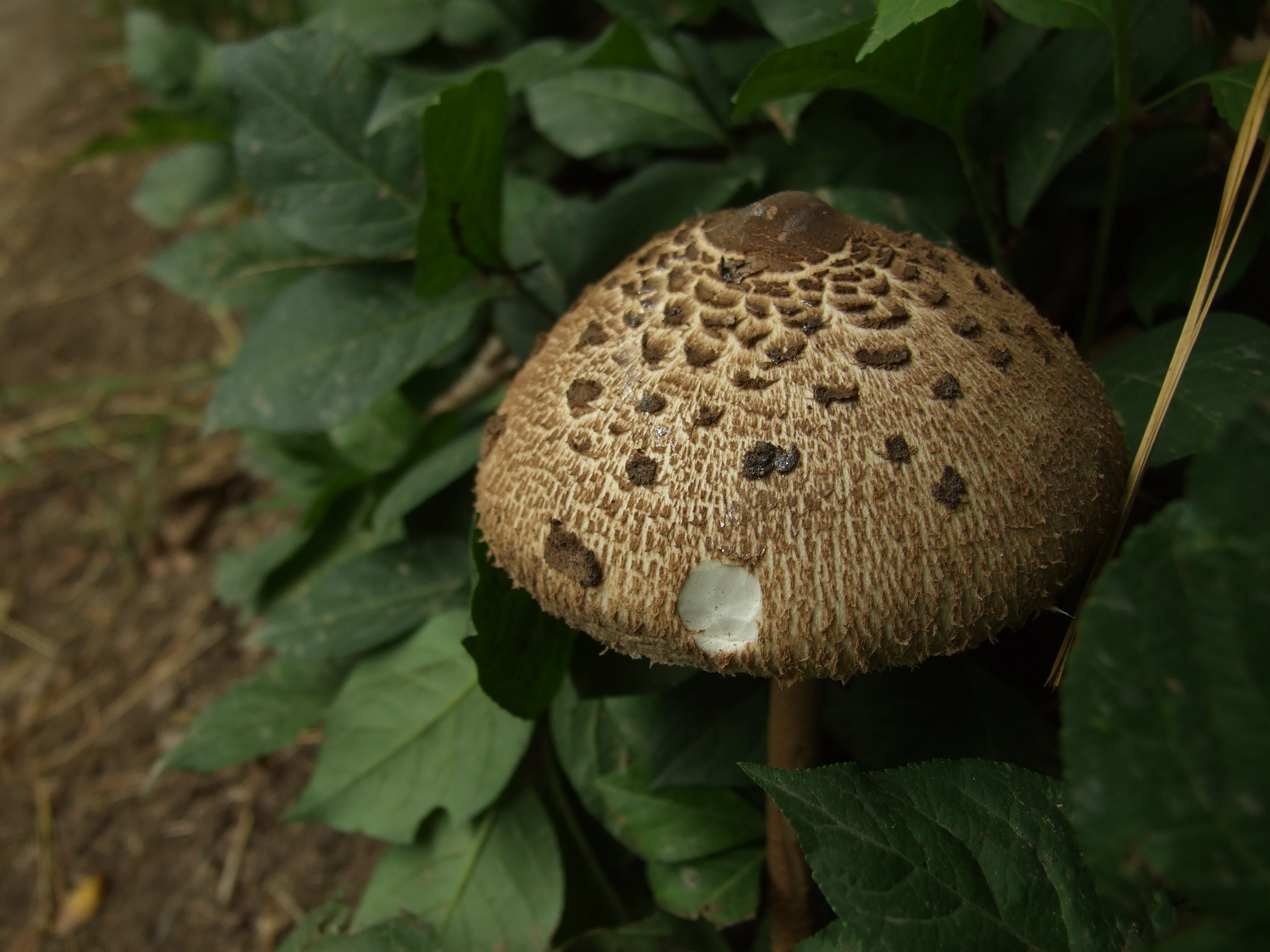
Čeština: Krajina ve Středočeském kraji, v okolí Kačáku (řeky Loděnice) mezi Kladnem a Prahou, zde bedla rostoucí u cesty
English: Nature of Central Bohemian region between Kladno and Prague in Kačák (Loděnice) river valley, CZ |
||||||
| Date | |||||||
| Source | Own work | ||||||
| Author |
|
||||||
| Permission (Reusing this file) |
Attribution ShareAlike 3.0 | ||||||

| Camera location | | View this and other nearby images on: OpenStreetMap |
|---|
This file is licensed under the Creative Commons Attribution-Share Alike 3.0 Unported license.
- You are free:
- to share – to copy, distribute and transmit the work
- to remix – to adapt the work
- Under the following conditions:
- attribution – You must give appropriate credit, provide a link to the license, and indicate if changes were made. You may do so in any reasonable manner, but not in any way that suggests the licensor endorses you or your use.
- share alike – If you remix, transform, or build upon the material, you must distribute your contributions under the same or compatible license as the original.
This image has been assessed using the Quality image guidelines and is considered a Quality image.
|
File history
Click on a date/time to view the file as it appeared at that time.
| Date/Time | Thumbnail | Dimensions | User | Comment | |
|---|---|---|---|---|---|
| current | 19:08, 5 June 2009 | | 2,848 × 2,136 (2.86 MB) | Aktron (talk | contribs) | {{Information |Description={{cs|Krajina ve Středočeském kraji, v okolí Kačáku (řeky Loděnice) mezi Kladnem a Prahou, zde bedla rostoucí u cesty}}<small>nápověda</small> {{en|Nature of Central Bohemian region between K |
You cannot overwrite this file.
File usage on Commons
The following 8 pages use this file:
File usage on other wikis
The following other wikis use this file:
- Usage on cs.wikipedia.org
- Usage on pl.wiktionary.org
- Usage on rue.wikipedia.org