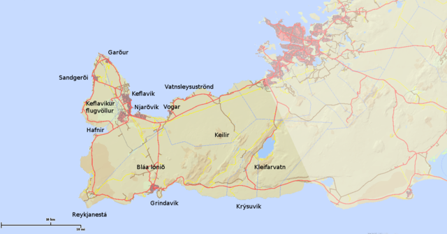
File:Sudurnes-Reykjanes.png
Jump to navigation
Jump to search

Size of this preview: 800 × 418 pixels. Other resolutions: 320 × 167 pixels | 640 × 335 pixels | 1,365 × 714 pixels.
Original file (1,365 × 714 pixels, file size: 400 KB, MIME type: image/png)
Captions
Captions
Add a one-line explanation of what this file represents
Summary
[edit]
| Description | |
| Date | |
| Source | http://atlas.lmi.is/is50v/ |
| Author | National Land Survey of Iceland |
Licensing
[edit]

|
The copyright holder of this file, National Land Survey of Iceland, allows anyone to use it for any purpose, provided that the copyright holder is properly attributed. Redistribution, derivative work, commercial use, and all other use is permitted. |
Attribution:
Based on data from National Land Survey of Iceland (full license)
|
| Annotations | This image is annotated: View the annotations at Commons |
File history
Click on a date/time to view the file as it appeared at that time.
| Date/Time | Thumbnail | Dimensions | User | Comment | |
|---|---|---|---|---|---|
| current | 18:01, 3 February 2014 | | 1,365 × 714 (400 KB) | Jabbi (talk | contribs) | User created page with UploadWizard |
You cannot overwrite this file.
File usage on Commons
The following 2 pages use this file:
File usage on other wikis
The following other wikis use this file:
- Usage on en.wikipedia.org
- Usage on eo.wikipedia.org
- Usage on es.wikipedia.org
- Usage on et.wikipedia.org
- Usage on fr.wikipedia.org
- Usage on is.wikipedia.org
- Usage on ms.wikipedia.org
- Usage on pl.wikipedia.org
- Usage on pt.wikipedia.org
- Usage on simple.wikipedia.org
- Usage on sv.wikipedia.org