File:Spain Castile and León relieve location map.jpg
Jump to navigation
Jump to search
No higher resolution available.
Spain_Castile_and_León_relieve_location_map.jpg (674 × 524 pixels, file size: 559 KB, MIME type: image/jpeg)
Captions
Captions
Add a one-line explanation of what this file represents
Summary
[edit]
| Description |
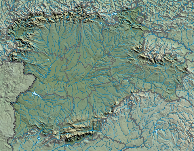
English: Location map relieve of Castile and León
Equirectangular projection, N/S stretching 130 %. Geographic limits of the map:
Español: Mapa de localización de físico de Castilla y León
Proyección cilíndrica equidistante (equirrectangular), N/S estirada 130 %. Límites geográficos del mapa:
|
| Date | |
| Source | |
| Author | Miguillen |
|
This map has been made or improved in the Spanish Taller de Cartografía (Map Lab). You can propose maps to improve as well.
|
Licensing
[edit]
This file is licensed under the Creative Commons Attribution-Share Alike 1.0 Generic license.
- You are free:
- to share – to copy, distribute and transmit the work
- to remix – to adapt the work
- Under the following conditions:
- attribution – You must give appropriate credit, provide a link to the license, and indicate if changes were made. You may do so in any reasonable manner, but not in any way that suggests the licensor endorses you or your use.
- share alike – If you alter, transform, or build upon this work, you must distribute the resulting work under the same license as the original.
File history
Click on a date/time to view the file as it appeared at that time.
| Date/Time | Thumbnail | Dimensions | User | Comment | |
|---|---|---|---|---|---|
| current | 14:22, 19 April 2012 | | 674 × 524 (559 KB) | Miguillen (talk | contribs) | == {{int:filedesc}} == {{Information |Description={{en|Location map of Castile and León relive}} Equirectangular projection, N/S stretching 130 %. Geographic limits of the map: * N: 43.329494° N * S: 39.949055° N * W: 7... |
| 14:05, 19 April 2012 |  | 674 × 524 (555 KB) | Miguillen (talk | contribs) |
You cannot overwrite this file.
File usage on Commons
There are no pages that use this file.